Forecast: Consecutive Western Disturbances to Bring Rain and Snow to Jammu and Kashmir Over Five-Day Period, MeT Reports
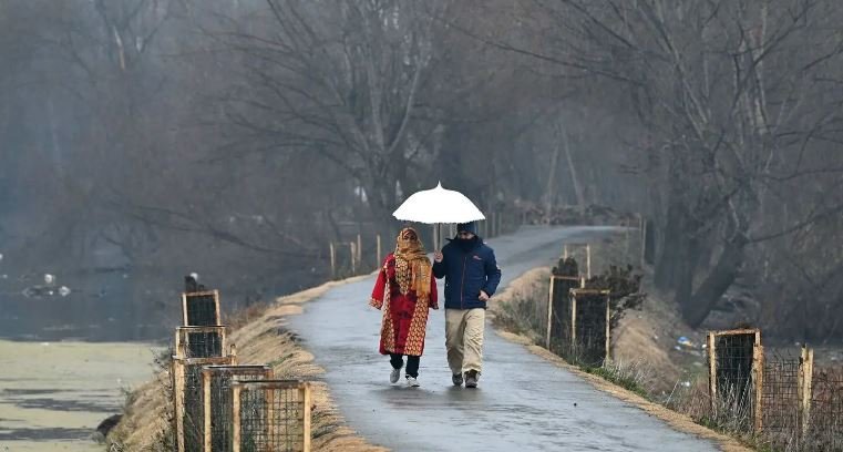
Srinagar, 10-03-2024 : The Meteorological Centre in Srinagar has forecasted a series of weather changes for Jammu and Kashmir over the next five days, courtesy of two consecutive Western Disturbances (WD’s). These disturbances are anticipated to bring about rainfall and snowfall across the region.
As of now, the weather is predicted to be cloudy, with isolated instances of very light rain and snow in the upper reaches of Jammu and Kashmir within the next 24 hours. Looking ahead, the MeT office has indicated the likelihood of light to moderate precipitation occurring at various locations on March 13 and 14, with the potential for heavier snowfall in higher elevations during this period.
From March 15 to 18, the weather is expected to stabilize, with drier conditions prevailing across the region. However, an independent weather forecaster, Kashmir Weather, concurs that the forthcoming days will witness the impact of these successive Western Disturbances, resulting in the possibility of light to moderate rain or snowfall in most areas of Jammu and Kashmir during March 13 and 14.
Furthermore, there is a projection of a notable decrease in daytime temperatures during this timeframe. Notably, except for Gulmarg, where temperatures remained relatively stable, the night temperatures across various stations in the Kashmir Valley have recorded below-normal levels. Srinagar, for instance, experienced a low of 2.2°C, marginally below the previous night’s temperature, with similar trends observed in other areas such as Qazigund, Kokernag, Pahalgam, and Kupwara.