Protecting J&K’s Water Heritage
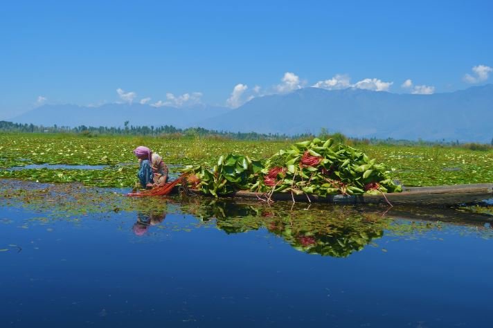
The warning over Jammu and Kashmir’s shrinking lakes cannot be brushed aside simply because the first assessment came from satellite imagery. Wetlands are among the region’s most valuable natural assets. They absorb floodwaters, recharge groundwater, support wildlife, sustain livelihoods and protect towns and villages from ecological stress. Any indication that they are declining deserves careful verification and timely action.
According to the Ministry of Jal Shakti, the assessment cited in the Comptroller and Auditor General report, which suggested that 518 of 697 lakes had disappeared or reduced in size, was based on LISS-III satellite imagery with an approximate spatial resolution of 23 metres. The Centre told the Lok Sabha that the findings were indicative and did not, by themselves, prove permanent disappearance, encroachment or unlawful conversion. That clarification is scientifically reasonable. A lake may appear smaller in an image because of seasonal variation, low rainfall, sedimentation, vegetation growth or changes in water flow. Satellite data can identify areas of concern, but firm conclusions require field inspections, cadastral maps, revenue records, notified boundaries and historical comparisons. Even so, the government cannot afford to treat an indicative warning as insignificant. If 518 water bodies appeared missing or diminished in an official assessment, each case should be examined on the ground. The question is not merely whether the earlier figure was technically final. The real issue is whether wetlands are losing water spread, depth, catchment area or ecological quality. The Jammu and Kashmir Government subsequently revised and expanded its inventory using very-high-resolution satellite imagery, grid-based analysis, field verification and jurisdictional refinement. According to the revised government inventory, the Union Territory has 1,793 wetlands and water bodies. Official data shows that 1,499 of these are wetlands below one hectare and other wetland-like features. Of them, 574 fall under forest or wildlife jurisdiction and 925 are outside forest areas. Another 294 wetlands measuring more than one hectare have been identified. These include 113 inside forests, 54 within protected areas, three under the jurisdiction of the Lake Conservation and Management Authority or Wular Conservation and Management Authority, and 124 outside forests. The expanded inventory is useful because smaller wetlands are often overlooked, even though they help with drainage, groundwater recharge and local biodiversity. But counting water bodies is only the first step. A wetland may remain on an official list while being polluted, silted, fragmented or encroached upon. The government should therefore publish a transparent, regularly updated database showing the boundaries, jurisdiction, water-spread history, ecological condition and encroachment status of every significant wetland. Such information would allow citizens, researchers and local authorities to track changes and demand action where necessary. The Ministry has said that the Union Territory Wetland Authority, headed by the Chief Secretary, has been constituted, while District Wetland Management Units have been created for local planning and monitoring. Major lakes are handled by specialised agencies. Wular is managed by WUCMA, Dal and Nigeen by LCMA, and Manasbal by the Wular-Manasbal Development Authority. The Wildlife Protection Department oversees important wetlands such as Hokersar, Haigam, Shallabugh, Surinsar-Mansar and Gharana, while the Forest Department protects wetlands located within reserve forests and other forest lands. Government-listed conservation measures include selective de-siltation, restoration of natural streams and nallahs, removal of aquatic weeds, catchment treatment, maintenance of pools and navigational channels, solid waste management and biodiversity monitoring. These interventions are necessary, but they must follow site-specific scientific plans. Encroachment requires much stronger enforcement. Wetland boundaries should be digitised and made publicly accessible. Illegal construction, land filling and waste dumping must invite prompt action, not years of correspondence.
The Centre is right that satellite imagery alone cannot deliver a final legal verdict. But it can provide an early warning, and early warnings exist to prevent irreversible loss. Moreover, in addition to this, the J&K Government must immediately verify every threatened wetland through field surveys, digitise and publicly disclose boundaries, remove encroachments without favour, restore damaged catchments and fix responsibility for official neglect. Regular satellite monitoring, scientific audits and community participation should become mandatory before ecological decline turns these vital water bodies into irreversible losses.