Snowfall Likely in Kashmir’s Higher Reaches Within 24 Hours: MeT Office
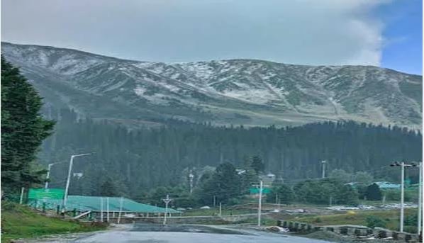
Srinagar, Nov 10: The higher altitudes of Kashmir Valley are expected to witness light snowfall and rain over the next 24 hours, the Meteorological Centre Srinagar announced on Sunday. According to officials, the weather is forecasted to remain mostly cloudy with light snow and rainfall anticipated across the northern parts of Kashmir and central areas.
The MeT office also reported that from November 12 to 14, weather conditions are likely to stay dry. However, a fresh spell of light snowfall and rain is anticipated over the higher regions from November 15 to 16.
Independent weather observer Faizan Arif noted that a weak Western Disturbance (WD) will impact Jammu and Kashmir starting Sunday night, bringing light snowfall and rain, particularly to the high-altitude areas of North Kashmir, Pir Panjal Range, and regions within Bandipora and Ganderbal districts, with activity expected to taper off by early November 12. A subsequent, weaker WD is projected between November 14 and 16, which may bring light snowfall to additional high-altitude areas.
Alongside these weather changes, a dip in daytime temperatures by 2-6°C is expected, with nighttime temperatures set to decline significantly after November 17, Arif noted.
The Kashmir Valley is currently experiencing a prolonged dry spell, contributing to record-low water levels in the Jhelum River and its tributaries. Mist and shallow fog have also settled across Srinagar’s Dal Lake and other valley areas, with cold weather leading tourists and locals to don warmer attire.
The minimum temperature in Srinagar overnight on Saturday was 3.6°C, slightly above the seasonal average of 1.7°C, while the daytime high reached 21.6°C, which is 4.3°C above normal, according to the MeT office.